12 Best Apps for Mapping Your Walks in 2025

There's something magical about a good walk. Whether you're exploring new city streets on a trip, hitting a familiar local trail, or simply trying to get your daily steps in, the right tool can turn a simple stroll into a memorable adventure. But with countless options out there, finding the perfect app for mapping walks can feel like a journey in itself. It's a crowded space where every app seems to promise the world, but they all serve very different purposes.
Some are built for hardcore athletes chasing personal bests, while others are designed for backcountry hikers who need detailed offline topographic maps. A few are social platforms for sharing your routes with a community, and a select group focuses on quietly and privately journaling your life's path without broadcasting your location to the world. It’s easy to get stuck here, downloading three or four apps before landing on one that actually fits your needs.
This guide is here to cut through that noise. We're going to dive into 12 of the best apps available, breaking down what they do best, who they're for, and any potential drawbacks you should know about. Think of this as a practical, straightforward comparison to help you find the app that matches your walking style. We'll look at everything from social fitness giants like Strava to powerful navigation tools like Gaia GPS and privacy-first journaling apps like Dawarich.
Each review will include key feature summaries, pros and cons, pricing notes, and clear screenshots so you know what you're getting into. My goal is to give you all the information you need to make a confident choice, so you can spend less time searching in the app store and more time enjoying your walk. Let's get started.
1. Dawarich
Dawarich takes a really different approach from most of the apps on this list. It’s an automatic, privacy-first tool for location journaling. Instead of manually starting and stopping a tracker for every walk, Dawarich works silently in the background, building a comprehensive, searchable map of your life's movements. This makes it an exceptional tool not just for planned hikes but for spontaneously capturing every neighborhood stroll, commute, and journey, turning your daily travels into a rich, private timeline.
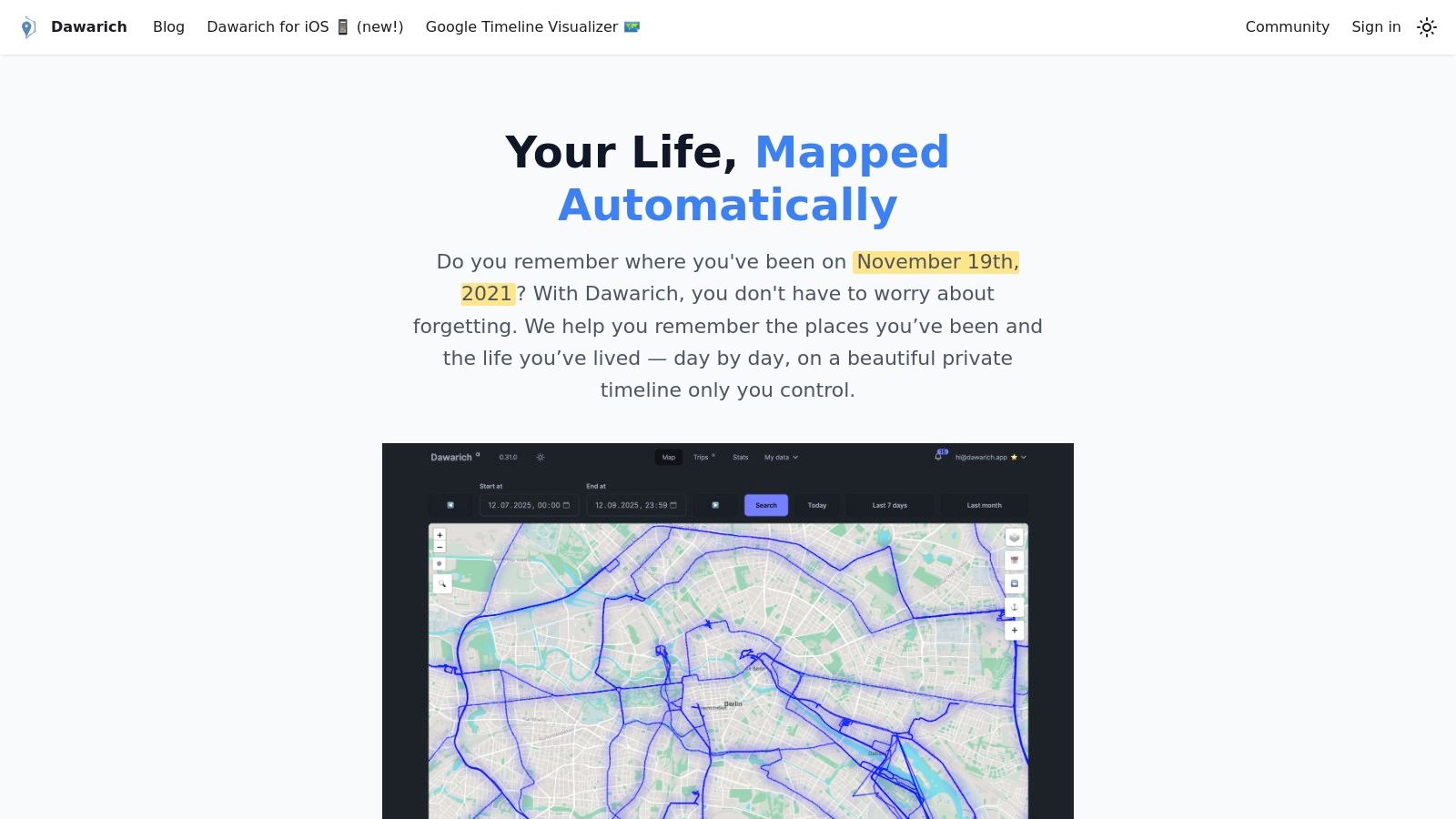
Its core strength is its "set it and forget it" functionality combined with a powerful suite of visualization tools. Once set up, it automatically logs your routes and places visited. You can then explore this data through interactive maps, detailed trip summaries showing distance and duration, and even a "Scratch Map" that visually fills in as you explore new areas. It makes for an incredible app for mapping walks and discovering just how much ground you cover over time.
Why Dawarich Stands Out
What truly sets Dawarich apart is its unwavering commitment to user privacy and data ownership. While many apps trade your location data for services, Dawarich is built on a foundation of trust.
- Privacy-First Architecture: All your data is encrypted both in transit (SSL/TLS) and at rest (LUKS). With servers based in Europe, it is fully GDPR compliant, giving you peace of mind that your personal location history remains yours alone.
- Total Data Control: You can easily import existing location data (including from Google Timeline) and export your entire history at any time. This portability ensures you are never locked into the platform.
- Flexible Deployment Options: You can opt for the convenient Dawarich Cloud plan, which includes an official iOS app and managed backups, or choose to self-host the platform for free if you have the technical skills and desire complete control over your server environment.
Pricing and Platform Availability
- Dawarich Cloud: Lite costs €59.99/year, and Pro costs €17.99/month or €179.99/year. Both include a 7-day free trial and a 14-day money-back guarantee.
- Self-Hosted: Free for users who prefer to manage their own server and installation.
- Platforms: The managed Cloud plan includes an official iOS app. Android users can still use the platform effectively via third-party apps that feed data to their Dawarich instance.
| Feature Highlights | Description |
|---|---|
| Automatic Journaling | Passively records routes and places visited without manual input. |
| Rich Visualizations | Includes interactive maps, trip summaries, statistics, and a "Scratch Map" of explored areas. |
| Robust Privacy | European-based, GDPR compliant, encrypted in transit (SSL/TLS) and at rest (LUKS). |
| Data Portability | Features tools for importing and exporting your entire location history, including a Google Timeline visualizer. |
| Deployment Choice | Offers both a user-friendly Cloud subscription and a free, open-source self-hosted option. |
Best For: Privacy-conscious individuals, travelers, and lifeloggers who want a detailed and automatic visual record of their movements without compromising their data.
2. AllTrails
AllTrails is a behemoth in the world of outdoor navigation, and for good reason. Think of it as the Yelp or TripAdvisor for hiking and walking trails. Its massive, crowd-sourced database is its biggest strength, offering over 450,000 curated routes globally, though its coverage is particularly dense in the United States. If you’re looking for a reliable app for mapping walks that someone else has already vetted, this is often the best place to start.
The platform shines with its community-driven content. Each trail page includes recent reviews, user-submitted photos, difficulty ratings, and elevation profiles, giving you a real-world preview of what to expect. This is incredibly helpful for finding routes that match your fitness level and for checking current trail conditions before you head out.
Core Features & User Experience
The free version is great for discovery, but the real power for serious walkers comes with the paid tiers. AllTrails+ unlocks essentials like offline map downloads (a must-have for areas with spotty cell service) and wrong-turn alerts. The user interface is straightforward and beginner-friendly, making it easy to filter trails by length, difficulty, or even dog-friendliness.
Best For: Hikers and walkers who prioritize trail discovery and community-sourced reviews, especially within the U.S.
- Website: https://www.alltrails.com
- Pricing: Free basic plan. AllTrails+ is around $35.99/year and offers offline maps and navigation alerts. The Peak tier adds more advanced planning tools for a higher price. Keep an eye out for frequent promotions and discounts on the annual membership.
- Pros: Enormous database of trails with rich user reviews, very easy for beginners to pick up and use.
- Cons: Key safety features like offline maps are behind a paywall. The shifting of features between membership tiers can sometimes be confusing for long-time users.
3. Strava
While often associated with competitive cycling and running, Strava has evolved into a powerful and socially-driven platform for anyone mapping a walk. Its biggest draw is the global "heatmap," which visualizes the most popular routes taken by millions of users. This feature is fantastic for discovering safe, well-trodden, and scenic walking paths in your area or a new city, taking the guesswork out of your planning.
Strava functions as both a route planner and a fitness-focused social network. You can track your walks, analyze your performance stats like pace and distance, and share your activities with friends for a bit of friendly encouragement or competition. This social element adds a layer of motivation that many other mapping-only apps lack, making it a great choice if community is important to you. For a deeper look at how its features compare to other journaling apps, you can read this breakdown of Strava.
Core Features & User Experience
Strava’s route builder is a standout feature, allowing you to draw your own path or get AI-assisted suggestions based on community data. The free version covers basic tracking and sharing, but a subscription unlocks advanced route planning, detailed segment analysis, and Beacon, a live-tracking safety feature. Its seamless integration with devices from Garmin, Apple Watch, and others makes it incredibly easy to sync your walks without manual data entry.
Best For: Walkers who are motivated by data and community, and who want to combine route mapping with a detailed fitness log.
- Website: https://www.strava.com
- Pricing: Free plan with core tracking features. The premium subscription, which unlocks route planning and advanced analytics, is around $79.99/year, though pricing can vary by region.
- Pros: Excellent route discovery through global heatmaps, strong social and community features, and seamless integration with major wearables.
- Cons: Key route planning features are behind a paywall. The interface can feel a bit training-centric if you only want a simple app for mapping walks.
4. MapMyWalk (Under Armour)
Part of the Under Armour suite of fitness apps, MapMyWalk is laser-focused on the activity of walking, from casual city strolls to more structured training. While other platforms bundle walking into a broader category of outdoor activities, this app for mapping walks dedicates its entire workflow to it. This focus makes it an excellent choice for users who primarily stick to pavement and parks and want features tailored specifically to that experience.
Its biggest draw is the integration with a massive fitness ecosystem. If you’re already using other Under Armour apps like MyFitnessPal or a UA connected shoe, MapMyWalk fits in seamlessly. It also offers a huge library of user-created routes, particularly in urban and suburban areas, making it easy to find a new path right outside your door.
Core Features & User Experience
The app provides all the core functionality you'd expect: GPS tracking, distance, pace, and calorie burn. Where it stands out is in its motivational tools, such as audio coaching that provides real-time feedback during your walk and community challenges that encourage you to hit new goals. The MVP (premium) subscription unlocks training plans, live tracking so friends can follow your route, and more advanced data analysis. Understanding how to track your location effectively is key to using these features, and you can learn more about location tracking here.
Best For: Urban and suburban walkers who want a fitness-focused experience with strong motivational tools and community challenges.
- Website: https://www.mapmywalk.com
- Pricing: Free with ads. The MVP premium subscription is around $5.99/month or $29.99/year and removes ads while unlocking training plans and live tracking.
- Pros: Walking-specific features and challenges, deep integration with the Under Armour fitness ecosystem, and a large library of urban routes.
- Cons: The website feels a bit sparse until you log in. Some key pricing and feature details are clearer on the app store listings than on the main site.
5. Komoot
Komoot excels as a powerful route planner and navigation tool, especially popular in Europe. It’s designed for adventurers who want to meticulously plan their journeys, whether it’s a short city walk or a multi-day trek. This app for mapping walks shines with its detailed surface and elevation data, allowing you to know exactly what kind of terrain you’ll be covering before you even step outside.
Unlike subscription-first models, Komoot offers a unique pricing structure. You get one region for free to test its full capabilities, including turn-by-turn voice navigation and offline map downloads. After that, you can purchase individual regions or entire country packs with a one-time payment, which is a fantastic value if you tend to explore a specific area.
Core Features & User Experience
The platform's route planner is its standout feature, available on both the web and its mobile app. You can create custom routes that snap to known paths and trails, with the app providing detailed information on the waytypes (like pavement, hiking path, or cycleway) you’ll encounter. Its turn-by-turn navigation is clear and reliable, making it feel like a GPS for your feet.
Best For: Planners who love crafting their own routes and walkers who primarily explore one geographic region, seeking excellent value for offline navigation.
- Website: https://www.komoot.com
- Pricing: Free region to start. One-time purchases for single regions (from $3.99), region bundles, or a complete World Pack (around $29.99). A Premium subscription (around $59.99/year) unlocks advanced features like live tracking and multi-day planning.
- Pros: Great value with one-time map purchases, reliable offline navigation with clear voice instructions, powerful and easy-to-use route planners.
- Cons: Some advanced planning features are locked behind the annual Premium subscription, and regional pricing can vary by currency and app store.
6. Gaia GPS
For walkers who often venture beyond well-trodden paths into national parks and backcountry areas, Gaia GPS is a professional-grade navigation powerhouse. It moves beyond simple trail finding, offering a vast library of specialized map layers that cater to serious outdoor enthusiasts. If your walks frequently take you into areas with unreliable cell service, this app for mapping walks provides the robust, off-grid performance you need.
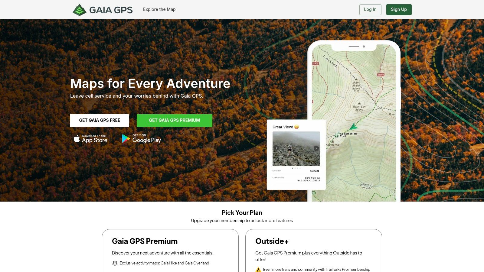
The platform's biggest strength is its unparalleled collection of over 250 map sources. You can overlay topographic maps, satellite imagery, public land boundaries, and even real-time weather data to plan your route with incredible detail. It's the kind of tool that empowers you to create your own walks, mark important waypoints, and confidently navigate complex terrain far from any marked trail.
Core Features & User Experience
Gaia GPS offers route recording, waypoint marking, and detailed elevation profiling, all of which sync seamlessly between its web and mobile platforms. The free version provides a taste, but the Premium membership is where the essential features live, most notably the ability to download entire map regions for offline use. The interface is more technical than some competitors, but it’s clean and highly functional once you’re familiar with its layout.
Best For: Serious hikers, backcountry walkers, and anyone who needs detailed, multi-layered maps for off-grid navigation, particularly in the U.S.
- Website: https://www.gaiagps.com
- Pricing: Free basic plan. Gaia GPS Premium is around $39.99/year for offline maps and the full map catalog. It can also be bundled with an Outside+ membership, which provides access to additional content and learning resources.
- Pros: Enormous catalog of specialized U.S. map layers, excellent and reliable offline performance.
- Cons: Some users have noted price increases over the years, and the account system can be confusing as it is sometimes handled through a parent Outside account.
7. CalTopo
If you think of other apps as guidebooks, CalTopo is the professional cartographer’s toolkit. It’s an incredibly powerful web and mobile platform designed for serious backcountry planning, favored by search-and-rescue teams, wildland firefighters, and meticulous route planners. While it might be overkill for a simple neighborhood stroll, it’s an unparalleled app for mapping walks in complex or remote terrain where safety is paramount.
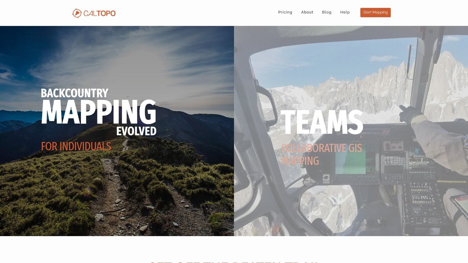
CalTopo’s strength lies in its layers. You can overlay detailed data like slope angle shading (critical for avalanche safety), public land ownership, weather forecasts, and various satellite imagery sources. Its web-based route-drawing tools are robust, allowing you to precisely plan a trip, analyze its elevation profile, and then seamlessly sync it to your phone for offline use.
Core Features & User Experience
The interface is dense and technical, reflecting its professional-grade capabilities. There is a steeper learning curve compared to more consumer-focused apps, but the payoff is immense control over your map creation. You can easily draw routes, place waypoints, and print high-quality physical maps for a backup. The free version is surprisingly capable for online planning, but a subscription is necessary to unlock its full potential, including most offline map layers.
Best For: Experienced hikers, backcountry explorers, and anyone who needs detailed terrain analysis and safety-planning tools for their walks.
- Website: https://caltopo.com
- Pricing: Free for basic online use. Paid plans start around $50/year for individuals, unlocking essential features like offline layers and advanced planning tools.
- Pros: Exceptional terrain analysis and safety-planning layers, seamless web-to-mobile workflow for detailed planning, and powerful printing capabilities for physical backups.
- Cons: The user interface can be intimidating for beginners, and key offline features and advanced layers are locked behind a paid subscription.
8. Google Maps
It might seem obvious, but no list of mapping apps is complete without the default champion, Google Maps. While not a dedicated trail app, it’s arguably the most powerful and accessible tool for urban and suburban walks. Its greatest strength is its unparalleled database of roads, sidewalks, and points of interest (POIs), making it an indispensable app for mapping walks in populated areas. If you need to plan a route from your hotel to a cafe through city streets, this is your go-to.
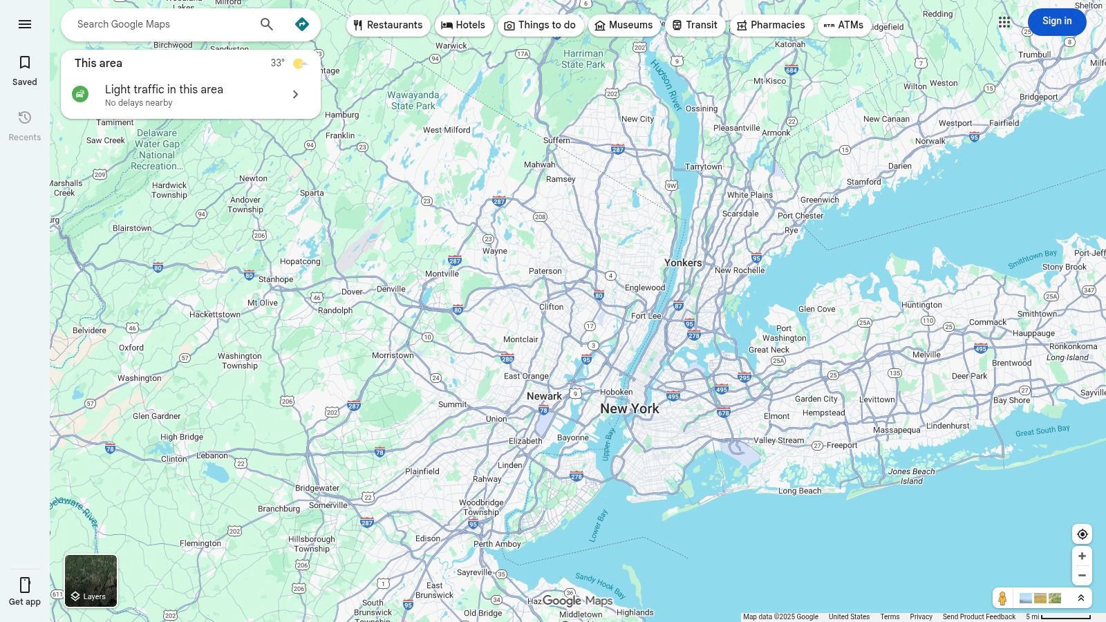
Google’s platform excels at seamless, everyday navigation. Its step-by-step walking directions are best-in-class, often using landmarks for guidance ("turn right after the Starbucks"), and the Live View AR feature, which overlays directions onto your camera's view, feels like something from the future. It’s also a fantastic discovery tool, letting you find parks, coffee shops, or historical markers to build a walk around, complete with photos and recent reviews.
Core Features & User Experience
The user experience is familiar to almost everyone, with a clean interface that works flawlessly across web and mobile. Planning a multi-stop walk is simple, and the ability to share your route or live location with friends is a great safety feature. While its offline capabilities for walking can be less detailed than for driving, downloading city maps is a lifesaver when traveling. The platform's integration with other Google services also means your walking plans can sync with your calendar. For those who use tools like Dawarich, the ability to view your private location history on a familiar map interface is a major plus; you can learn more about its map features on their website.
Best For: Urban explorers and anyone needing reliable, free, and feature-rich navigation for walks in cities and towns.
- Website: https://maps.google.com
- Pricing: Completely free for personal use.
- Pros: Unmatched POI data and place search, excellent step-by-step directions with AR, seamlessly syncs across all your devices.
- Cons: Not designed for off-road trails, offline walking data can be inconsistent, and some advanced smartwatch features are Android-exclusive.
9. Apple Maps
For those already invested in the Apple ecosystem, the built-in Maps app has quietly evolved into a surprisingly capable tool for mapping walks, especially for casual urban exploration and U.S. national park hikes. Instead of needing a third-party download, Apple provides a robust, free, and privacy-focused solution right on your iPhone, iPad, and Apple Watch. Its biggest advantage is the seamless integration across these devices.
The platform has made significant strides, now offering detailed U.S. topographic maps and curated trail guides for national parks, which you can browse directly within the app. For city walkers, features like Look Around and immersive augmented reality (AR) walking directions in select cities offer a futuristic way to navigate. You can also create your own multi-stop walking routes on your Mac or iPad and they will automatically sync to your iPhone and Apple Watch for offline use.
Core Features & User Experience
The user experience is exactly what you'd expect from Apple: clean, intuitive, and deeply integrated. Planning a walk is straightforward, and the ability to have turn-by-turn directions on your Apple Watch is a fantastic, hands-free benefit. The custom route creation is simple, allowing you to plot points and save the journey for later. As it's a native app, it doesn't drain your battery as aggressively as some other GPS-heavy applications might.
Best For: Apple users looking for a free, private, and seamlessly integrated solution for city walks and exploring trails in U.S. national parks.
- Website: https://www.apple.com/maps
- Pricing: Completely free. All features are included with Apple devices and there are no premium tiers or advertisements.
- Pros: Excellent integration with Apple Watch and iOS, strong U.S. park guides, completely free and privacy-focused.
- Cons: Best features are exclusive to the Apple ecosystem. Advanced AR and topographic map details are not yet globally available.
10. Footpath Route Planner
Footpath Route Planner stands out for its simplicity and laser focus on one specific task: creating custom walking routes quickly and intuitively. Instead of browsing a massive library of pre-made trails, this app for mapping walks empowers you to draw your own path directly on the map with your finger. Its "snap-to-path" technology intelligently aligns your freehand drawing to actual roads, trails, and footpaths, making route creation a breeze.
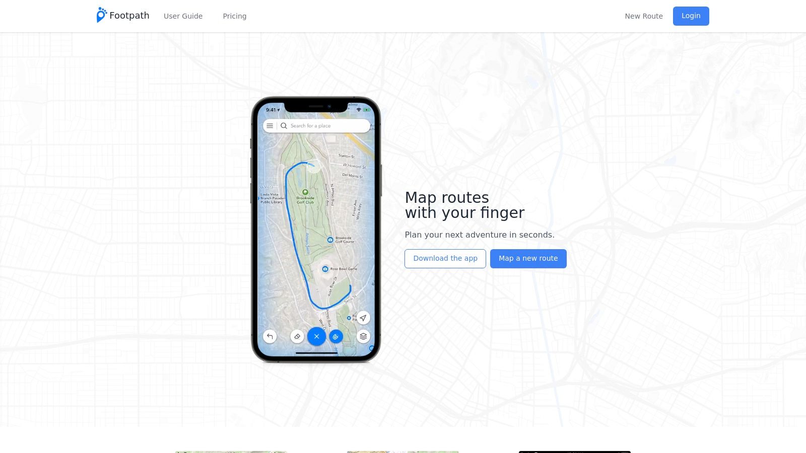
This approach is perfect for planning a specific urban walk, a run around your neighborhood, or a custom trail loop in a local park where you already know the area but want a precise distance and navigation. Once your route is set, the app provides turn-by-turn voice navigation and even lets you generate printable cue sheets, a nice touch for those who prefer a physical backup.
Core Features & User Experience
The user experience is clean and centered entirely around the route-drawing feature. You can analyze your created path for elevation and slope, which is great for planning workout intensity. Routes can be saved into folders for easy organization and exported for use on other devices. The app works seamlessly across iOS, Android, and a web interface, so you can plan on a larger screen and sync to your phone for the actual walk.
Best For: Walkers and runners who want to quickly create and follow their own precise, custom-made routes in urban or familiar areas.
- Website: https://footpathapp.com
- Pricing: Free to plan routes. The Footpath Elite subscription unlocks turn-by-turn navigation, offline maps, and premium map styles. Pricing is shown in-app but is generally affordable, with a 7-day free trial available.
- Pros: Incredibly fast and intuitive finger-drawing route creation, focused and easy-to-use interface, cross-platform support.
- Cons: Not designed for trail discovery; has a much smaller community and fewer shared routes compared to platforms like AllTrails.
11. onX Backcountry
Originally known for its hunting and off-roading maps, onX has brought its powerful mapping engine to the hiking world with onX Backcountry. This app is a serious contender for those venturing beyond well-trodden paths in the United States. It excels at providing detailed, layered maps that show you not just the trail, but crucial land ownership information, which can be a lifesaver when you're unsure if you're crossing onto private property.
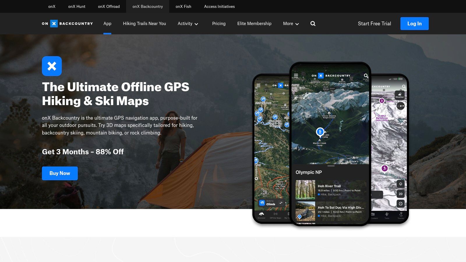
While it might seem like overkill for a simple neighborhood stroll, its robust offline capabilities and clear topographic and satellite layers make it a top-tier app for mapping walks in national forests, state parks, and remote wilderness areas. It even includes specialized data like avalanche forecasts and recent wildfire perimeters, highlighting its focus on safety and situational awareness in the backcountry.
Core Features & User Experience
The mobile app's user interface is clean and performs well, even when handling complex map layers in remote locations without cell service. You can easily record your tracks, add waypoints with photos, and build routes ahead of time. The guidebook-style trail data provides reliable descriptions and key stats for thousands of hikes, integrated directly into the map.
Best For: Serious hikers, backpackers, and anyone walking in remote U.S. areas where land ownership and access are key considerations.
- Website: https://www.onxmaps.com/backcountry
- Pricing: Premium is around $29.99/year for offline maps and trail data. Elite is about $59.99/year and adds private land data and other advanced layers. Introductory offers are common.
- Pros: Excellent U.S. land ownership and access information, strong mobile performance for backcountry navigation, and straightforward pricing.
- Cons: Content is heavily focused on U.S. outdoor/backcountry use, and the advanced features are likely unnecessary for casual urban walkers.
12. OsmAnd
OsmAnd is the app for the fiercely independent walker who values privacy and offline capability above all else. Built on the open-source OpenStreetMap (OSM) project, it’s a powerful navigation tool that works entirely offline, making it a fantastic app for mapping walks in remote areas or while traveling internationally without a data plan. Instead of streaming maps, you download detailed maps for entire countries or regions directly to your device.
This app stands out by giving you granular control over your experience without tethering you to a big-tech ecosystem. You can import GPX files for custom routes, customize what details appear on your map, and trust that your location data isn't being harvested. It's less about social discovery and more about pure, reliable, self-sufficient navigation.
Core Features & User Experience
The initial experience can be daunting; the interface is dense and packed with features, presenting a steeper learning curve than slicker, more mainstream apps. However, for those willing to invest a little time, the payoff is immense. You get turn-by-turn voice navigation for walking, contour lines for terrain, and a high degree of map customization. The free version includes a limited number of map downloads to get you started.
Best For: Privacy-conscious users, international travelers, and tech-savvy walkers who want complete offline functionality and control over their maps.
- Website: https://osmand.net
- Pricing: Free version with limited map downloads. OsmAnd+ Maps & GPS Offline is a one-time purchase (around $29.99 on iOS) or a subscription plan (OsmAnd Pro) is available for access to all features and frequent map updates.
- Pros: Strong privacy posture and extensive offline capability, works globally, and is excellent for custom GPX walks.
- Cons: The user interface has a steep learning curve and can feel cluttered compared to more minimalist apps.
12 Walk-Mapping Apps: Feature Comparison
| Product | Core features | Privacy & data controls | Best for / Target audience | Price & value |
|---|---|---|---|---|
| Dawarich (Recommended) | Automatic location journaling; private searchable timeline; Trips, Map, Stats, Scratch Map; photo geotagging; import/export | SSL/TLS in transit, LUKS at rest, EU servers, GDPR‑compliant; self‑host option | Travelers, lifeloggers, privacy‑conscious users, compliant field teams | Cloud Lite €59.99/yr, Pro €17.99/mo or €179.99/yr; self‑host free; 7‑day trial |
| AllTrails | Large trail database, reviews, elevation profiles, route navigation (paid) | Community data sharing; standard app data collection | Hikers, trail discovery, casual walkers | Free; AllTrails+ and Peak paid tiers (offline maps, nav) |
| Strava | Activity tracking, route builder, popularity heatmaps, social features, wearable sync | Activity sharing defaults; data used for social/metrics; some features behind paywall | Runners, fitness‑focused walkers, wearable users | Free + subscription (varies by country) |
| MapMyWalk (Under Armour) | Walking routes, training plans, audio coaching, live tracking, wearable sync | Under Armour data policies; standard account data collection | Walk training, motivated walkers, wearable syncing | Free + MVP subscription (relatively low annual price) |
| Komoot | Turn‑by‑turn voice nav, offline region downloads, route planner with surface/elevation | Standard app data practices | Region‑focused hikers/walkers, offline navigation | One‑time region purchases or Premium annual |
| Gaia GPS | 250+ map layers (topo, USGS), offline downloads, track recording, waypoints | Standard collection; sync across devices | Backcountry hikers, parks, serious map users | Subscription or Outside+ bundle |
| CalTopo | Advanced terrain and safety layers, route drawing, exportable/printable maps | Standard collection; popular with SAR community | Power users, SAR, safety planners | Free basic; paid tiers for offline/advanced layers |
| Google Maps | Step‑by‑step walking directions, rich POIs, Live View AR, cross‑platform sync | Heavy data collection tied to Google accounts | Urban/suburban walks, POI discovery, mainstream users | Free |
| Apple Maps | Walking directions, AR guidance, topo/park maps, Apple Watch sync | Privacy‑focused within Apple ecosystem | iOS/Apple Watch users, casual city & park walkers | Free |
| Footpath Route Planner | Finger‑draw & snap‑to‑path route creation, turn‑by‑turn nav, cue sheets | Standard app data; in‑app pricing | Fast custom route creation for neighborhood/park walks | Free + Elite subscription (7‑day trial) |
| onX Backcountry | Topo & satellite layers, offline maps, weather/avalanche info, private‑land overlays | Standard collection; clear land/access data | Backcountry hikers, land‑access planning | Paid tiers; Elite for private‑land overlays |
| OsmAnd | OSM‑based fully offline maps, GPX import/export, granular controls | Strong privacy stance; no big‑tech account required | Travelers, privacy‑conscious users, global offline navigation | Free + optional Maps+/Pro purchases |
Which Walking App is Right for Your Journey?
Well, that was quite a hike through the world of digital wayfinding! We’ve navigated a dozen different contenders, each promising to be the best app for mapping walks, but as we've seen, the "best" app is less about a universal winner and more about finding the perfect partner for your personal journey. Your ideal tool depends entirely on your "why" for walking.
It's clear the market has an app for every kind of walker. If you thrive on competition, kudos, and community leaderboards, the social ecosystems of Strava and MapMyWalk are designed to keep you motivated and connected. They turn every walk into a shareable event, focusing on performance, fitness goals, and social validation. They’re excellent for training and finding local walking buddies.
For those whose paths lead them off the beaten track, the choice is equally clear but geared toward survival and discovery. Rugged adventurers and serious hikers need the specialized power of Gaia GPS, onX Backcountry, or CalTopo. These apps are less about social sharing and more about detailed topographic layers, offline reliability, and ensuring you make it home safely. They are the digital equivalent of a trusty compass and a well-worn paper map.
Finding Your Fit: A Quick Guide
So, how do you filter through the noise and pick the right one? Let's boil it down to a few key questions you should ask yourself before downloading anything:
- What is my primary goal? Is it fitness tracking, backcountry navigation, urban exploration, or creating a personal memory log? Your answer is the single most important factor.
- How important is privacy to me? Are you comfortable with your location data being part of a social network, or do you need a private, secure vault for your personal timeline? This is a crucial distinction between apps like Strava and Dawarich.
- Do I need offline access? If you frequently walk in areas with spotty cell service, apps with robust offline mapping capabilities like OsmAnd, Gaia GPS, and Komoot should be at the top of your list.
- What’s my budget? While many apps offer great free tiers, the most powerful features are often locked behind a subscription. Decide if the premium offerings are worth the investment for your specific use case.
The Rise of the Personal Journey Log
While many apps focus on the walk itself - the pace, the elevation, the calories burned - there's a growing need for an app for mapping walks that focuses on the story behind the walk. This is where the landscape of options shifts dramatically. For lifeloggers, digital nomads, and anyone who wants to preserve their memories, the primary goal isn't performance; it's effortless, automatic documentation.
This is the specific niche where Dawarich shines. It operates on a fundamentally different principle. It’s not about pushing you to walk faster or further. Instead, it works quietly in the background, creating a rich, private, and searchable tapestry of your life's movements. It’s designed for the person who revisits a city and wants to find that tiny cafe they loved, the traveler documenting a multi-month journey, or the memory keeper who values having an accurate timeline of their life.
By prioritizing automatic tracking, GDPR-grade privacy, and powerful journaling features, Dawarich serves a need the fitness and hardcore navigation apps simply don’t address. It’s for those of us who believe the journey itself is the destination, and that every step is part of a larger story worth remembering. So, as you lace up your shoes, consider what you want to get out of your walk. Whether it's a new personal best, a stunning mountain view, or a memory saved for a lifetime, there’s an app ready to map the way.
Ready to start building your own private world map? If you're looking for an app for mapping walks that automatically creates a beautiful, searchable timeline of your life's journeys without compromising your privacy, give Dawarich a try. See your story unfold at Dawarich and begin your life's archive today.